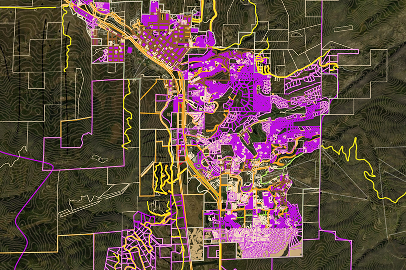
Bintel Maps Launched! 


Bintel Maps is launched and available for wildfire and forestry professionals. Click here for Pricing and Launch Offer.

We are pleased to announce the availability of Bintel Maps for professional and novice mapmakers. This application is specifically targeted for collaboration within and between agencies, jurisdictions and the public.

Our goal is to help professionals in wildfire and resource management turn public and internally managed data into a public resource. Many examples can be found in our blogs and on our website.

We are focused on building out the maps for each county in Colorado and are looking for partners to do the same in other regions and fields such as oil & gas, mining, infrastructure, transportation, real estate and watershed. Satellite and other GEOINT sources for displacement, high resolution imaging, moisture and vegetation can be integrated and published without GIS training.

Please share this with your colleagues or contact us if you have more questions.


SCHEDULE DEMO

Topics: Mapping, Wildfire, Geospatial, collaboration, cwpp, Bintel Mapping Tool, Forestry, watershed, 30DayMapChallenge, map, cartography, remote sensing, geography, esri, gps, resource management, gis, arcgis, qgis

Tom Marsh

Written by Tom Marsh

Tom has served as CEO of Bintel since cofounding the company in 2019. Before that he was COO of ai-one inc. where led the projects for NASA Marshall, SwissRe, Boeing and FedEx. For the past 15 years he has specialized in artificial intelligence applications for enterprise and government with a critical integration of Subject Matter Experts, AI, data, and visualizations. For FedEx this included topic classification and visualization of customer experience data collected weekly from survey data on FedEx.com. A project with an Army military intelligence group involved the development of a sophisticated intelligence platform that included GEOINT and provided situational awareness for an allied military. His current mission is to bring that caliber of solutions to counties in the West.