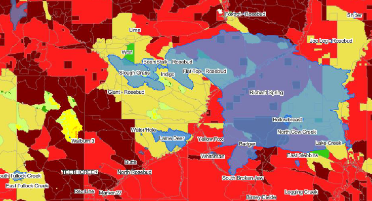
As wildfires continue to pose significant threats to communities and ecosystems, the need for proactive mitigation measures has never been greater. Bintel is committed to utilizing its geospatial platform to enhance the safety and lives of people throughout the West. To expedite updates and new CWPP projects, Bintel offers CWPP services, GIS technology, wildland fire behavior modeling and now, Athena Intelligence's Wildfire Probability Analytics (WPA) to deliver a holistic approach to wildfire mitigation assessment and planning.
These CWPPs are not merely static reports but dynamic, long-term resiliency plans designed to inform mitigation decisions and suppression efforts. Bintel's plans evolve with changing conditions by integrating Athena's WPA and other EO GeoINT services into it's geospatial platform (Bintel Maps https://maps.bintel.io/
More on Athena's Wildfire Probability Analytics
The Wildfire Probability Analytics (WRA) is delivered as a map layer and report which show the probability that an ignition event will become a consequential fire. That said, Athena’s WRA is more than a map: it is a GIS report that provides of wealth of additional information which helps users assess the highest risk areas and planners think through mitigation priorities and suppression response. The WRA facilitates communication with external stakeholders and the public.
To create a WRA, Athena takes publicly available data from multiple wildfire and environmental agencies and, using an advanced algorithm, converts this raw data into actionable insights for decision makers. Most reports cover the community or county boundaries, plus a 2-mile border area. Athena’s assessment begins with the analysis of raw, disaggregated, and unstructured data sourced from various databases, including historical records of previous wildfires in the area. These diverse datasets are difficult to work with, analyze and correlate. Athena’s algorithm extracts meaningful patterns to create profiles of the land which include probabilistic projections of property damage from wildfire.
The algorithm evaluates a wide range of factors, including vegetation, topography, solar degree days, proximity to uninhabited areas near human dwellings, housing density, climate, wind patterns, and evapotranspiration data. By assessing landscape conditions related to wildfire risk for miles around a location, a picture of the wildfire risk, in the event of ignition, is calculated.
Athena profiles are probabilistic predictions for the upcoming 12 months, based on an assessment of risk for each 30-square-meter (approximately 10,000 square feet or ¼ of an acre) pixel. Each pixel is uniquely identified with an alphanumeric code, ensuring complete traceability to the source data and a chronological sequence. These pixels are evaluated in relation to all other pixels within a 5-mile radius to determine their likelihood of falling within a wildfire perimeter if a wildfire were to occur. For more see Athena's medium article
Each Community Wildfire Protection Plan (CWPP) reflects a collective effort to protect the safety and well-being of the community's residents. Together with Athena, Fire Adaptive Solutions and other partners, we can build a fire adapted resilient future.
Contact us to setup a demo with Athena or to learn more about our CWPP solutions.


