Notes from the Denali Borough Project Kickoff
The Bintel Team was excited to win the contract to update two CWPPs and write two more covering the Denali Borough in Alaska. The three day kickoff trip was a great series of meetings, tours and public engagement that was expertly orchestrated by the Borough team and partners. The landscape is as rugged as one can imagine and the people are warm and friendly. That said, this is not WUI as we know it. This is just Wild, no UI. For now I offer up some pics and commentary from my first visit, but watch for more on the unique attributes of this CWPP project later this year.

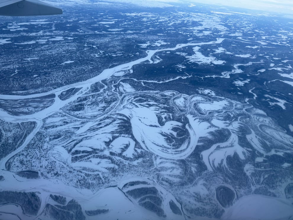
Vast Interior Rivers and Forests - some of the primary features of a CWPP is to plan for adequate access for fire fighters and evacuation for residents in the event of a fire. I can't underscore the challenge any better than this picture. Just imagine your home anywhere in this landscape and try to find your way in or out when a fire starts from lightning strikes with 50 mph winds.
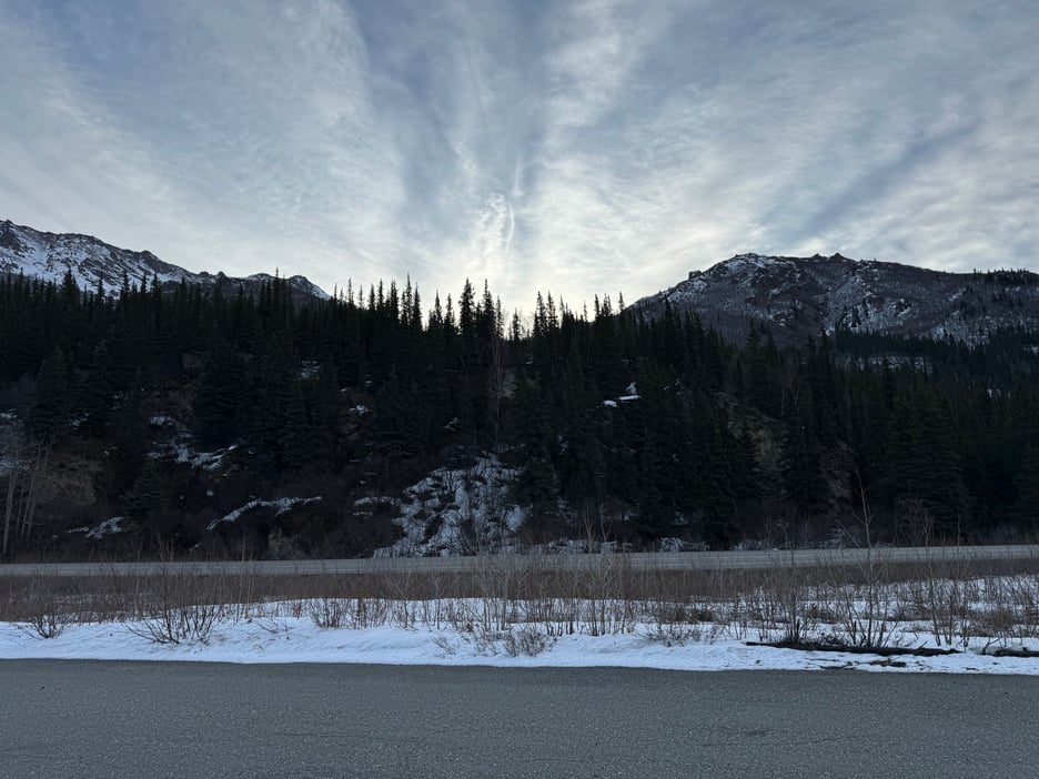
Great scenery and great people - Mother nature at her most spectacular in every direction, this at sunrise from the Denali Highway near the park entrance in McKinley. Not a lot of people around this time of year, but the nicest people you'd ever want to meet.
We're excited to help the Anderson, Healy, McKinley and Cantwell communities build a good plan that will help them stay safe and preserve their rugged way of life, for the benefit of all of us. This is why we do this work.
If you have questions or comments about your area and how to improve your community's wildfire planning, please contact us anytime.