Fostering Collaboration for the CWPP Process
Earlier this year Bintel, Inc. was selected by Eagle County Colorado to help modernize their Community Wildfire Protection Plans (CWPP). Some of the largest problems they faced included collecting various types of files, collaborating on maps, and keeping the public up to date (more often than every ten years). We first talked about this in In the West It’s Always Wildfire Season and Time to Update Your CWPP .
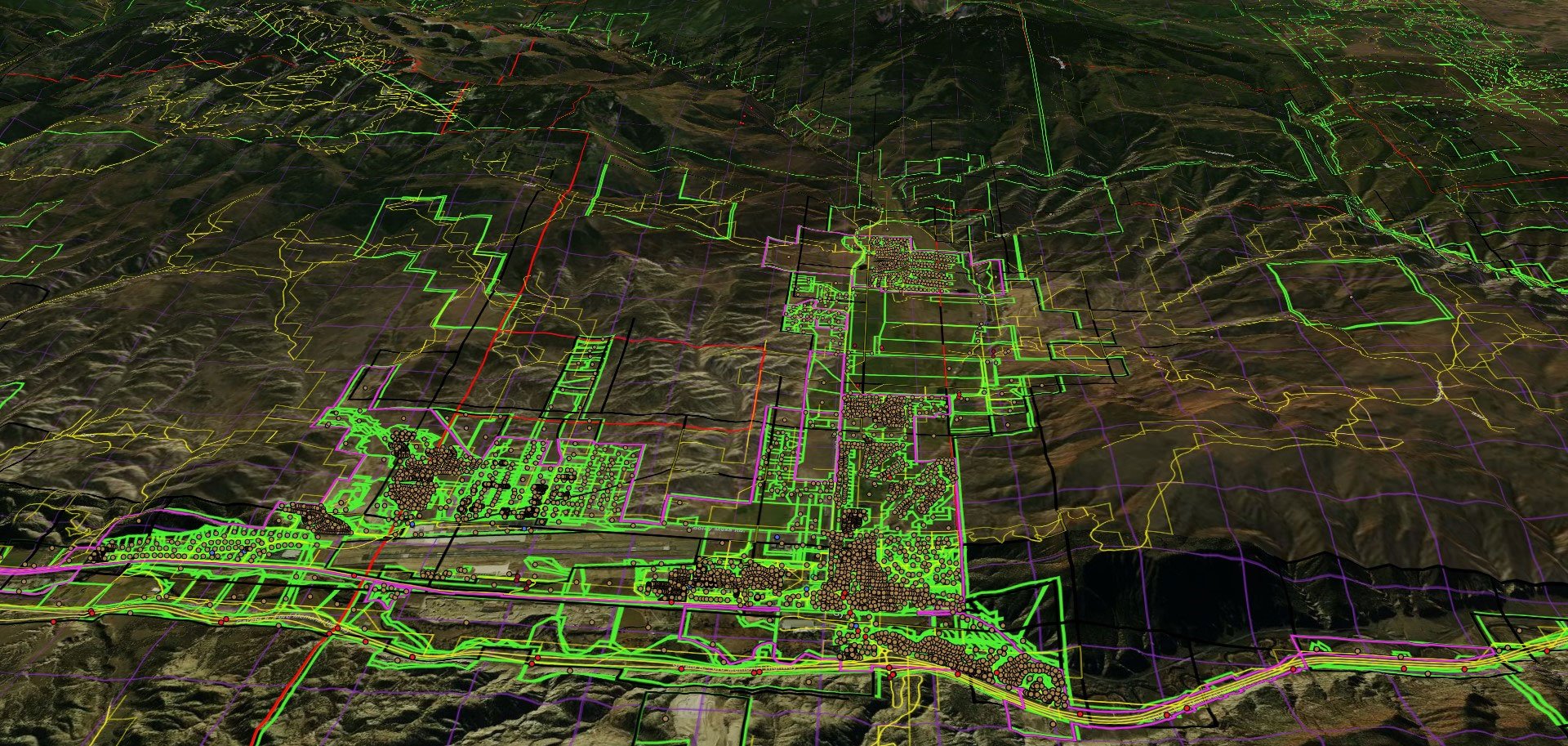
Working together, we have developed a mapping tool that is designed specifically for the State of Colorado and its counties. The tool accepts most geospatial file types making it easy to collect and view the files from the various contributors necessary to generate a CWPP. This includes file versioning so that users can continuously update data sources so the most current data is always available. Also included is point of contact information for all files uploaded so that anyone with a question can reach out to the source.
The application enables collaboration (see our last post, The Solutions to Our Problems Are Not All Tech, They Need All of Us) between all users so counties, cities, USFS, BLM, HOAs and other organizations can work together. It includes a custom developed public facing website for county residents and stakeholders to access the latest information with regular updates to the source data. The tool provides for publishing of private maps that can be shared with collaborators, as well as publishing curated maps or data sets to users in other counties to be the primary source of information for their data. Our vision for this product is to make data accessible, usable, and understandable for everyone, including other neighboring counties to foster regional preparedness around wildfire risk.
It has been critical since the start of this project that the solution serve other counties facing the same challenges Eagle County has faced in developing a useful CWPP. Gathering feedback from all of Colorado is a critical part of development for a successful solution and making sure this has general utility for water, forest and other resource professionals.
Bintel Maps is for people that love to build and use maps
We're excited to see the initial version of this are being released for use and additional testing this month. The big release to all Colorado counties is planned for October 2nd. We have special pricing and terms for beta users beginning in September.
Although the solution is focused on wildfire, it is built for users of all types of geospatial data and we are working to implement PDF and excel data extraction features into the application. It is intended to allow growth within the county for its uses and we welcome input from city, county, and state stakeholders.
If you have any questions or would like to schedule a demo for this tool, please contact us.


